
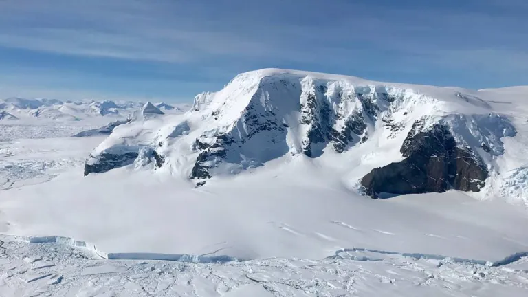
A NASA satellite in space that shoots a laser beam down to Earth has spotted still more subsurface lakes sandwiched between Antarctica's land and ice. Antarctica is a land with hundreds of feet or meters of ice sitting atop it. In between these two layers, elements such as the friction from the ice and the continental bedrock, fluctuations in how much downward pressure the ice exerts, and heat released from Earth create hundreds of hidden lakes. These pocket lakes are dynamic, too: In 2007, glaciologist Helen Amanda Fricker used data from NASA's Ice, Cloud, and land Elevation Satellite (ICESat) to discover that these lakes fill and drain via a network of subglacial waterways.
ICESat retired in 2010m, but its successor, ICESat-2, has picked up where the earlier mission left off, including discovering more subglacial lakes.
Matthew Siegfried, geophysicist and lead investigator of a new study published July 7 in the journal Geophysical Research Letters said, the discovery of these interconnected systems of lakes at the ice-bed interface that is moving water around, with all these impacts on glaciology, microbiology, and oceanography, that was a big discovery from the ICESat mission. ICESat-2 is like putting on your glasses after using ICESat.
The changing volume and shape of these subglacial lakes impact the elevation of the ice above them. ICESat-2 tracks the rise and fall of the Antarctic surface elevation to help scientists figure out what's happening to the otherwise invisible lakes underneath the ice.
The Advanced Topographic Laser Altimeter System (ATLAS) is the only instrument on ICESat-2. It measures how long it takes for its laser beam to bounce back into space from Earth. If the laser hits a tall land feature, the light takes less time to reach space than it would have if it hit a low-lying regio so, this technique helps scientists monitor elevation changes to landscapes. ATLAS' highly precise time measurements can count to a billionth of a second, the equivalent of centimeters in elevation, according to NASA.
Like its acronym suggests, ICESat-2 is a mission to study the frozen water parts of the world known as the cryosphere, which includes ice sheets, permafrost, the snow caps on mountains, and winter snow cover. The cryosphere is vital to cooling down Earth, storing and slowly releasing freshwater, and preventing sea levels from rising.
Antarctica is one of the most important segments of the cryosphere, and what happens there have consequences for the rest of the planet. And the continent's hidden subglacial lakes matter because they release water into the sea via a series of natural drainage waterways, according to NASA. The amount of water released into the ocean by these lakes and channels, as well as how this water flows along ocean currents, are important details that scientists need to monitor to develop a big-picture understanding of Antarctica as climate change intensifies.
Siegfried said, it's not just the ice sheet we're talking about. We're really talking about a water system that is connected to the whole Earth system.


0 Comments