
 | |
| A fishing pier in Fort Myers in Florida has been destroyed by the storm surge caused by Hurricane Ian. (Image credit: Maxar Technologies) |
Satellite pictures illustrate the extent of damage caused by Hurricane Ian over Florida last week, but they also show signs of recovery, such as lights turning back on where electricity has already been restored following widespread outages. Hurricane Ian made landfall in Florida as a Category 4 hurricane last week, producing major flooding in coastal areas owing to storm surges and torrential rainfall. According to Florida Today on Monday, the storm, which slammed the shore with deadly gusts of more than 155 mph (250 kph), killed approximately 100 Floridians (Oct. 3).
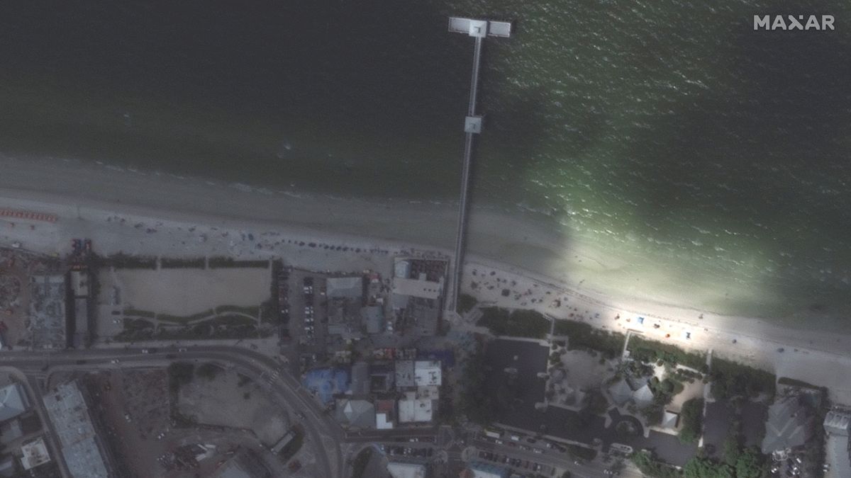 |
| The fishing pier in Fort Myers, Florida, before the arrival of Hurricane Ian. (Image credit: Maxar Technologies) |
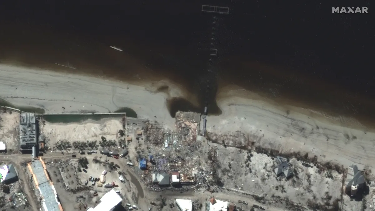
Earth-observing satellites run by commercial corporations and government organizations are crucial in estimating the extent of the devastation because they can see into locations where ground-based rescue crews may yet be unable to reach. Maxar Technologies satellites caught destruction along the beach at Fort Myers, in County Lee, on Florida's west coast, where entire communities were wiped away by the storm surge, which raised sea level by more than 12 feet (3.7 meters) over typical tidal levels.
Comparing photographs taken before and after Ian's rampage reveals the contrast near Fort Myers Beach: the fishing hamlet around the pier, as well as numerous residences along the main boulevard, seem entirely destroyed by the hurricane. Planet, Maxar's rival, captured images of a destroyed causeway linking Sanibel Island to mainland Florida.
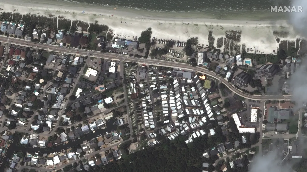 | |
| Fort Myers before Hurricane Ian.(Image credit: Maxar Technologies) |
Lower-resolution photographs captured by satellites operated by the European Copernicus environment monitoring program and the National Oceanic and Atmospheric Administration (NOAA) revealed runoff of black, polluted water from the flooded shoreline, which changed the hue of the murky Gulf of Mexico.
In a more upbeat report, the NOAA 20 satellite obtained a nighttime picture of Florida that showed lights returning to numerous regions where electricity had already been restored following the hurricane's passing.
The 2022 Atlantic hurricane season got off to a sluggish start, with no named storms developing over the ocean in August. Since then, activity has increased. Just one week before Ian, Hurricane Fiona wreaked havoc on Puerto Rico, with remnants reaching all the way to Canada (an unusual phenomenon that might have something to do with the climate change, according to experts). After battering Florida, Hurricane Ian recovered strength over the Atlantic Ocean before making a second landfall in South Carolina, knocking out electricity to 200,000 homes and generating severe flooding.
While Ian's remnants are currently dumping rain on New York and New England, forecasters are also keeping an eye on Tropical Storm Orlene, which made landfall as a Category 1 hurricane in southwest Mexico on Monday (Oct. 3) and dumped more than 10 inches (25 centimeters) of rain on the coast.


0 Comments