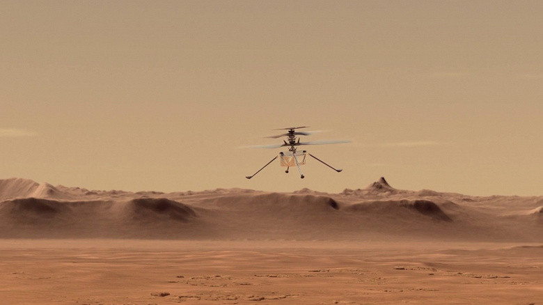
Helicopter Ingenuity, which has completed more than a dozen missions to Mars, performed better than expected. However, he made more flights than originally planned.
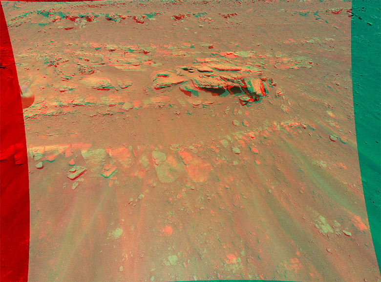
Ingenuity is currently being used to help find locations for the rover to explore in more detail. During the last flight, the Ingenuity helicopter took a 3D image of the embankment covered with stones.
These images were taken during the 13th helicopter flight on September 4th. The plan for this particular mission was to explore an area of Mars' crater Jezero known as the South Seitah region.
The height at which the photographs were taken was about 8 m. The rocky formation is about 10 m wide. The image also shows ripples in the sand, which are common in the area. NASA specifies that the image must be viewed with anaglyph glasses. The stereo image is created by combining data from two photographs taken at a distance of 5 m from each other using an Ingenuity color camera.
NASA recently warned that the changing seasons on Mars will make Ingenuity harder to manage. To combat this, NASA plans to increase the rotor speed of the helicopter to keep it operational.


0 Comments